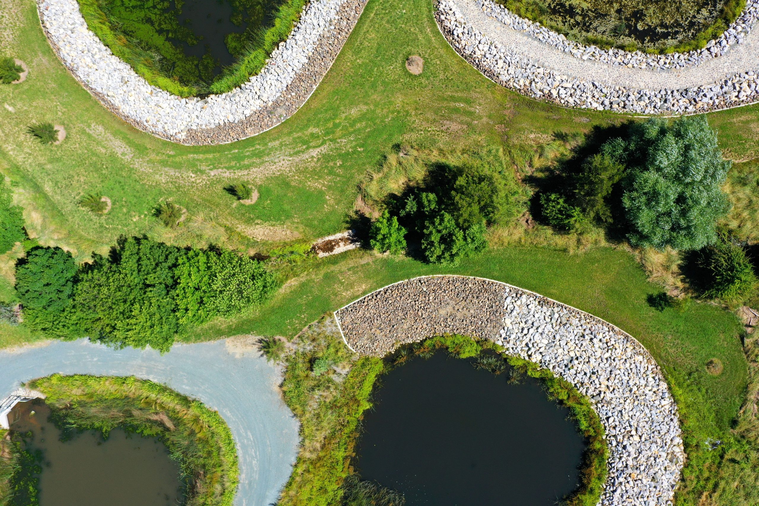
Drones have entered the emerging field of mapping, and drones are now being used for an array of commercial and industrial applications. The drone mapping industry is strong in various industries such as agriculture, satellite imaging, construction, and mining. Below is a list of the major Drone mapping applications across different industries.
1. Agriculture
Agricultural drone mapping has been around for quite some time now, as farmers have recognized the potential benefits that drones can bring to their industry. The application of Unmanned Aerial Vehicles in agriculture has gone through many different stages, from mapping large fields and agricultural estates to crop spraying and even monitoring wildlife populations on farms.
It is critical to map your land accurately with a high-definition aerial view to ensure the best performance. Using this information, you can get a detailed analysis of the area, including crop yield, irrigation systems, and soil health. Such data can be utilized to help with making decisions regarding the farm.
The use of drones in the agriculture industry has grown over the years to monitor crops and track livestock. For example, researchers used drones for an estimated 60% of all annual maize crop acreage surveys in Sweden and nearly all oilseed rape surveys. Overall, farmers can now spend more time working on their farms than worrying about when to harvest or how to improve their overall yield.
2. Construction sites
As with agriculture, drones help map large construction sites quickly and provide a digital blueprint that is easy to utilize. It is common for construction companies of different sizes to use drones these days as they offer many benefits over traditional surveying methods such as GPS, lasers, and tape measures. With a 3D scan, the contractor can get detailed information on the job completed in an easy-to-read format. That helps them keep track of their progress and plan for future benchmarks more effectively. They can also utilize this data to plan for future maintenance or repair works.
3. Media & entertainment
Media and entertainment companies have also started utilizing drones for their production needs as they offer a lower-cost alternative to alternatives such as helicopters and airplanes. Moreover, they are also a safer alternative as the operator does not have to deal with the harsh weather conditions that these other methods bring.
An excellent example of media and entertainment is in the film sector, where drones help take films in places that are difficult for conventional vehicles to access or land in. They can be used to track actors on set during filming, take aerial shots of movie locations, and even film wildlife scenes being filmed by movie productions.
4. Security
Drones are also proving to be a popular security solution for large organizations. Using drones for surveillance can achieve high precision in your surveillance measurements and use the data collected to help with management decisions, which you can find helpful for traffic, infrastructure, and safety concerns.
The Federal Aviation Association has prescribed all private enforcement drone operators for passing an exam that is more of an assessment than a test to become licensed. The licensing process is strict as it involves training classes, flight line monitoring, and even the need for you to pass a physical exam that consists of vision, hearing, and cardiovascular evaluations.
5. Real estate
With a thriving real estate industry, it is no surprise to find that drones are also in demand here as they can be used to help with the marketing of residential and commercial properties. Their popularity has increased over the last couple of years due to their ability to offer new perspectives on properties. For instance, as revealed at Dioram website, using interior drone mapping applications, you can create videos that showcase your property from different angles and even gather critical data regarding the house, such as noise levels, air quality, and entry points. That gives them an advantage over other real estates photography techniques such as aerial photography and satellite imaging.
Future expectations in the drone mapping industry
Artificial Intelligence Automation
Driverless cars have taken the news by storm, with self-driving vehicles being tested by major companies like Uber. Drones have a similar future in the US – with autonomous drones being tested by Google, Amazon, and NASA. These automated, intelligent machines will have all the same capabilities as driverless cars but may deliver more functionality like not getting stuck in traffic or delivering packages to their future destinations.
More Drone Mapping Apps
With the new advancements in technology, people see more apps being released that can help with drone mapping. As technology continues to advance, new apps will be released that help with different aspects of drone mapping! For example, AR Drone 2.0 by Ubisoft will give you a first-person view of the drone’s flight path to see better where it is and what it wants to go next.
Improved battery life
One of the first future expectations in the drone industry is the improvements in battery life, which will allow drones to stay airborne longer and reach greater distances before they need to return to base. As battery technologies improve, it is also likely that drones will be lighter because they will not need as much power-intensive heavy lifting equipment onboard as big batteries or gas engines. That would enhance the portability and functionality of drones, meaning that aerial mapping will become a more viable prospect for a wider variety of industries.
Augmented Vision
Drones are not about providing visibility. In reality, there is an endless amount of use for them in terms of augmented vision. Many companies are working on tech that augments human vision with drone technology. Augmented reality technology means that drone systems can be equipped with cameras and sensors to see things like weather, infrastructure, cars, and people without having to fly into the open sky.
Self-Healing Networks
As drones become more connected to the internet and other devices, it will be necessary to fix themselves in case of a crash or malfunction. It is simple: drones cannot fly themselves if they have a broken motor or propeller. “Fail” states are always an issue in UAV networking. They could include mechanical damage, run-ins with nature, interference from other sources like power lines, and even signal loss from out-of-range/weak signals. These effects are potentially dangerous when drone flight is automated because there is no one on board to deal with them. But the self-healing feature will ensure that it is a thing of the past.
Drones have completely revolutionized the industry in the recent decade. From mapping and inspections to farming, manufacturing, and land management, drones are being adopted by many different industry sectors as they bring immense benefits. As technologies like GPS, artificial intelligence, and computer vision continue to develop and become more sophisticated, they will help drones work more effectively with their human counterparts. In addition to boosting accuracy, these technologies will also reduce the amount of manual work required when capturing data.


